IPI gives directors and utility leaders field-verified condition data, a risk-based priority list, and documentation formatted for council, regulators and funders.
Wants to know where the money goes and what it buys.
Want steady progress on the commitments you've made.
Want a documented reason each project leads the list.
The most important infrastructure decisions are best made before a collapse, an overflow or an emergency repair makes them for you. Knowing which buried assets carry the greatest service risk lets you direct limited capital where it matters most, address vulnerable pipe earlier, and keep essential services running on a schedule you set.
That starts with seeing what is actually underground, then ranking it by both the likelihood of failure and the consequence if it fails.

Separate real collapse risk from cosmetic issues.
NASSCO-coded records for regulators and council.
Condition and prioritization data that can support eligible funding applications.
| If you are... | IPI helps you... |
|---|---|
| Building next year's capital program | Ground the plan in documented condition so the priority list holds up in budget discussions |
| Responding to a notice of violation or state action | Establish a measured baseline quickly and show a credible, prioritized path forward |
| Working under a consent decree | Organize condition data by asset so milestone progress is easier to demonstrate |
| Preparing a funding application | Organize condition and risk data to support the application, alongside your engineer and the program's own requirements |
How it works:
inspected since 2009, with zero incidents or claims.
El Paso Water's 2,400-mile baseline assessment.
daily production than the industry standard.
"Rather than simply executing, IPI has actively helped develop the work plans; leading to smooth and effective investigations."
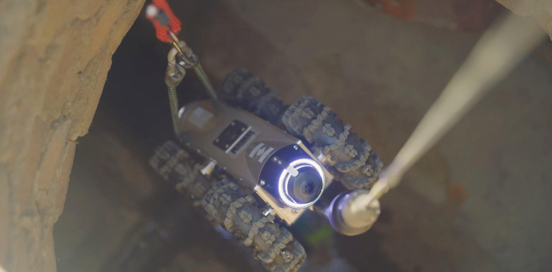
In-house crews are essential for maintenance and quick checks. IPI adds what a capital program needs on top of that: higher-resolution 360-degree imagery, certified coding, and the prioritization and documentation that turn footage into a defensible plan. Additionally, utilizing EdgeAI's portable AI-enabled robotics allows IPI to reach typical blindspots and hard-to-reach easements.
A no-cost review of your existing records, GIS and project needs. We identify gaps in the information you have today and recommend next steps, which may include a proposed inspection scope. It is a records review, not a field assessment or a funding determination.
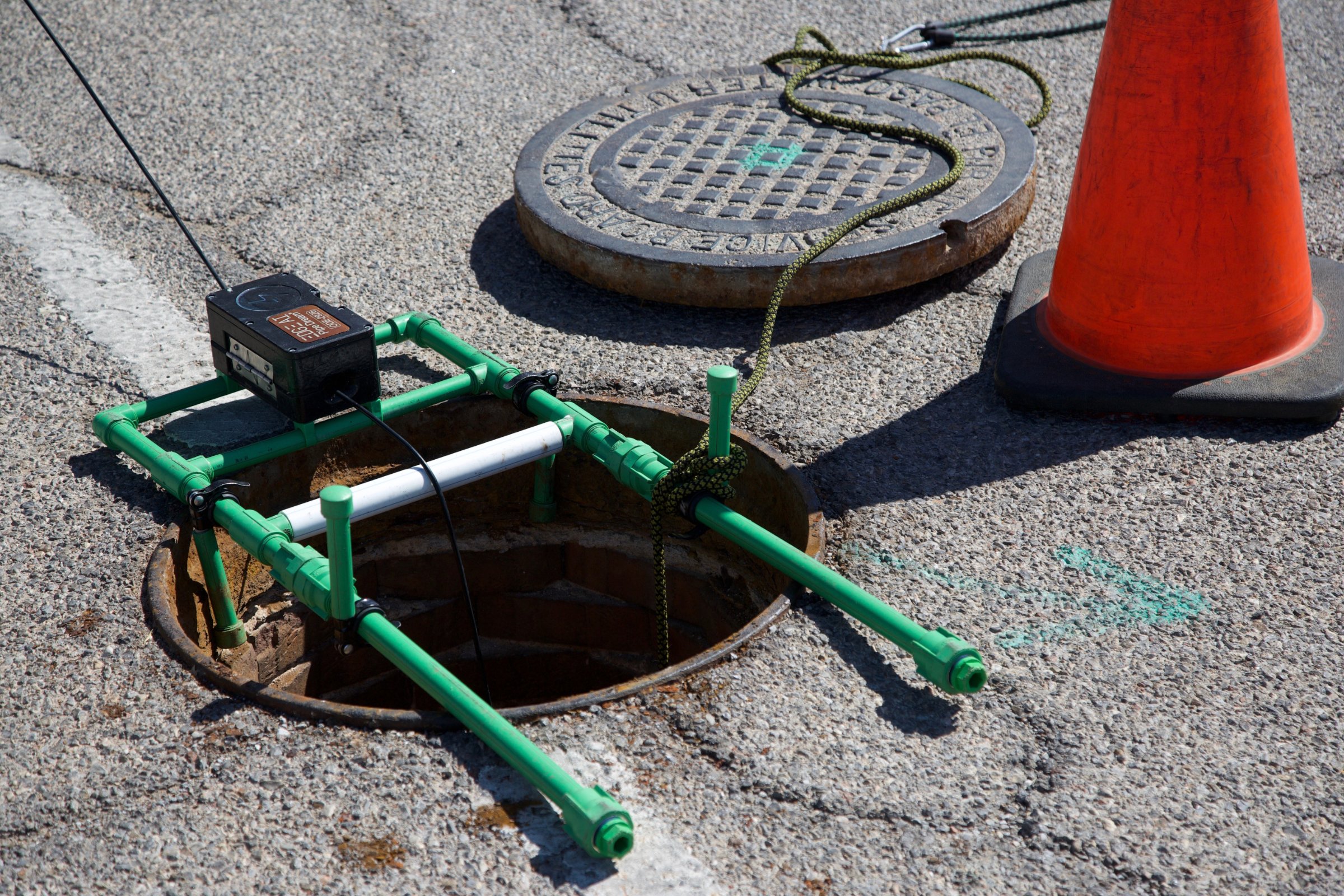
Often, yes. Using EdgeAI's mobile robotics, IPI can reach many access points that are difficult for truck-mounted equipment, including easements and rough terrain. The equipment is small enough to fit in airplane carry-on luggage. Actual access depends on site conditions and property permissions, which we confirm during planning.
Yes. Condition and prioritization data can be organized around common application needs from the start, though each program sets its own requirements and eligibility. Timing depends on scope, so the earlier we talk, the more options you have.
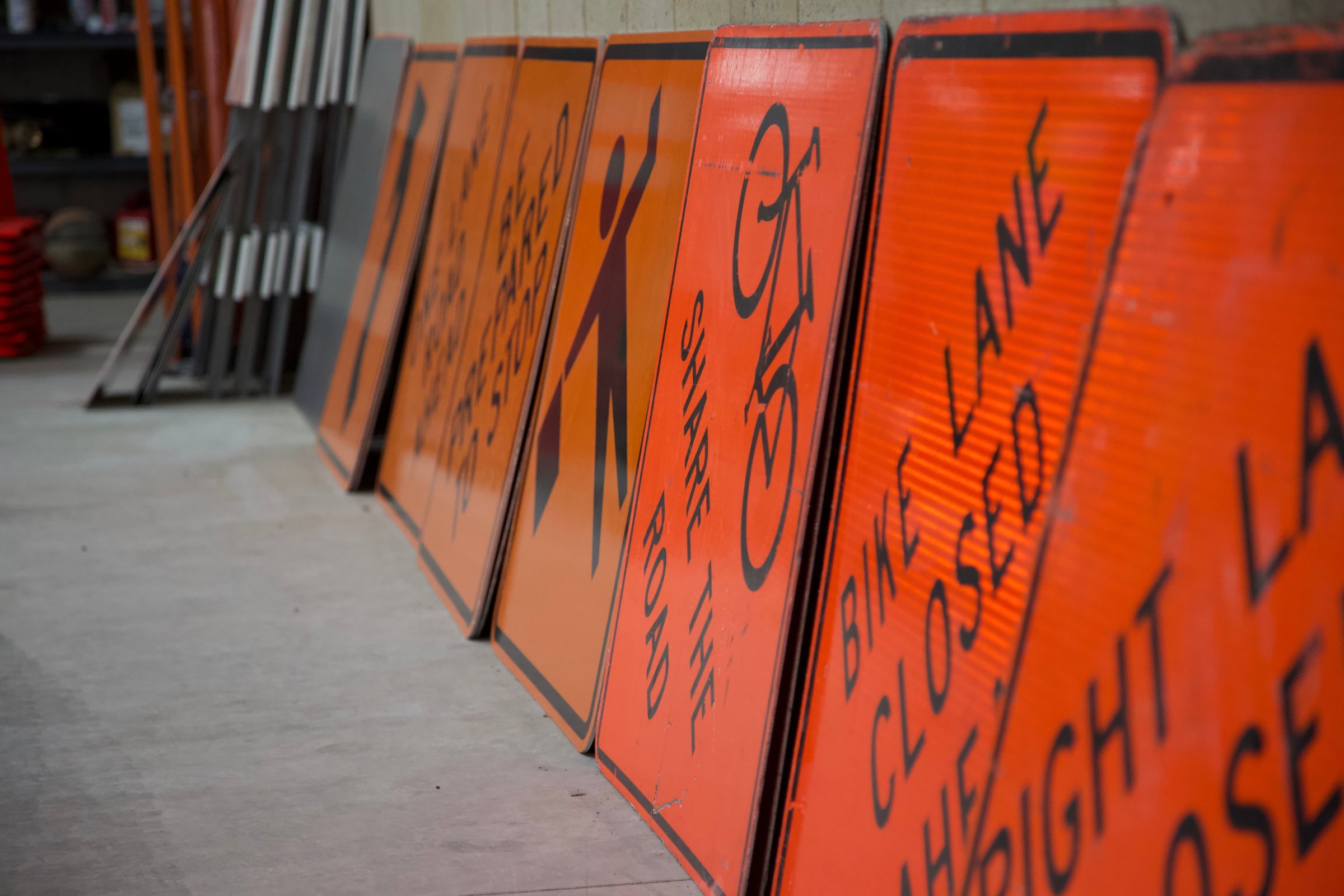
Crews plan work around traffic, service windows and neighborhood access, and every job runs under IPI's Project Zero safety program.
Yes. Much of our work is delivered alongside the engineering firm that advises you, in formats that drop into their analysis.