Condition data your team can build on.

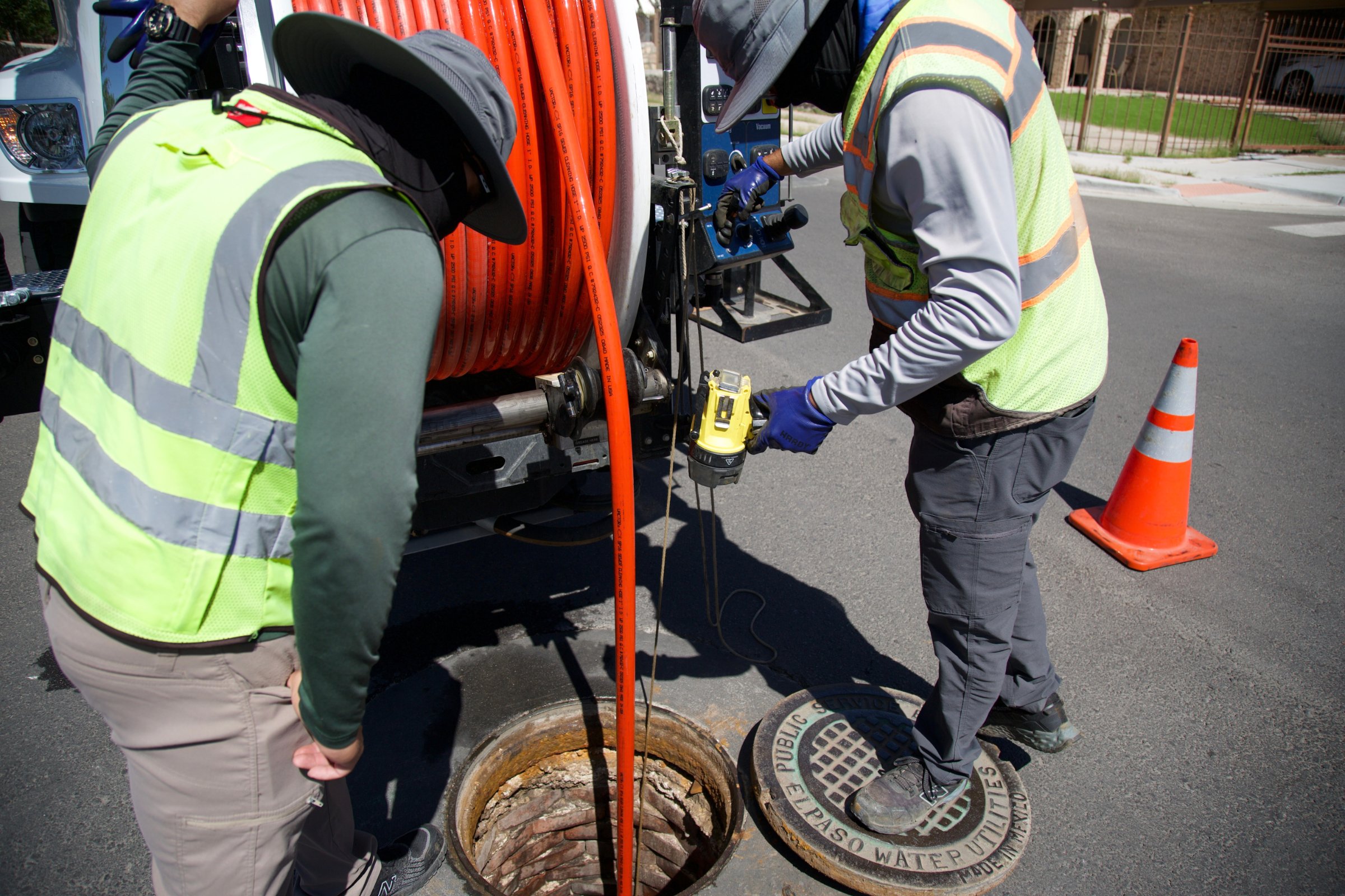
IPI crew feeding inspection cable into a manhole

For engineering firms and program managers

Certified data, your standards.

IPI delivers certified, GIS-integrated condition assessment at the pace your program schedule needs. Your engineers stay in control of the recommendation. We make the evidence underneath it stronger.

Where it shows up

When the condition data is right, everything downstream is easier

Pursuits

Pursuits

A differentiated assessment approach for proposals.

Programs

Programs

Crews and daily production planned around your schedule.

Deliverables

Deliverables

Coding, imagery and GIS in the formats you specify.

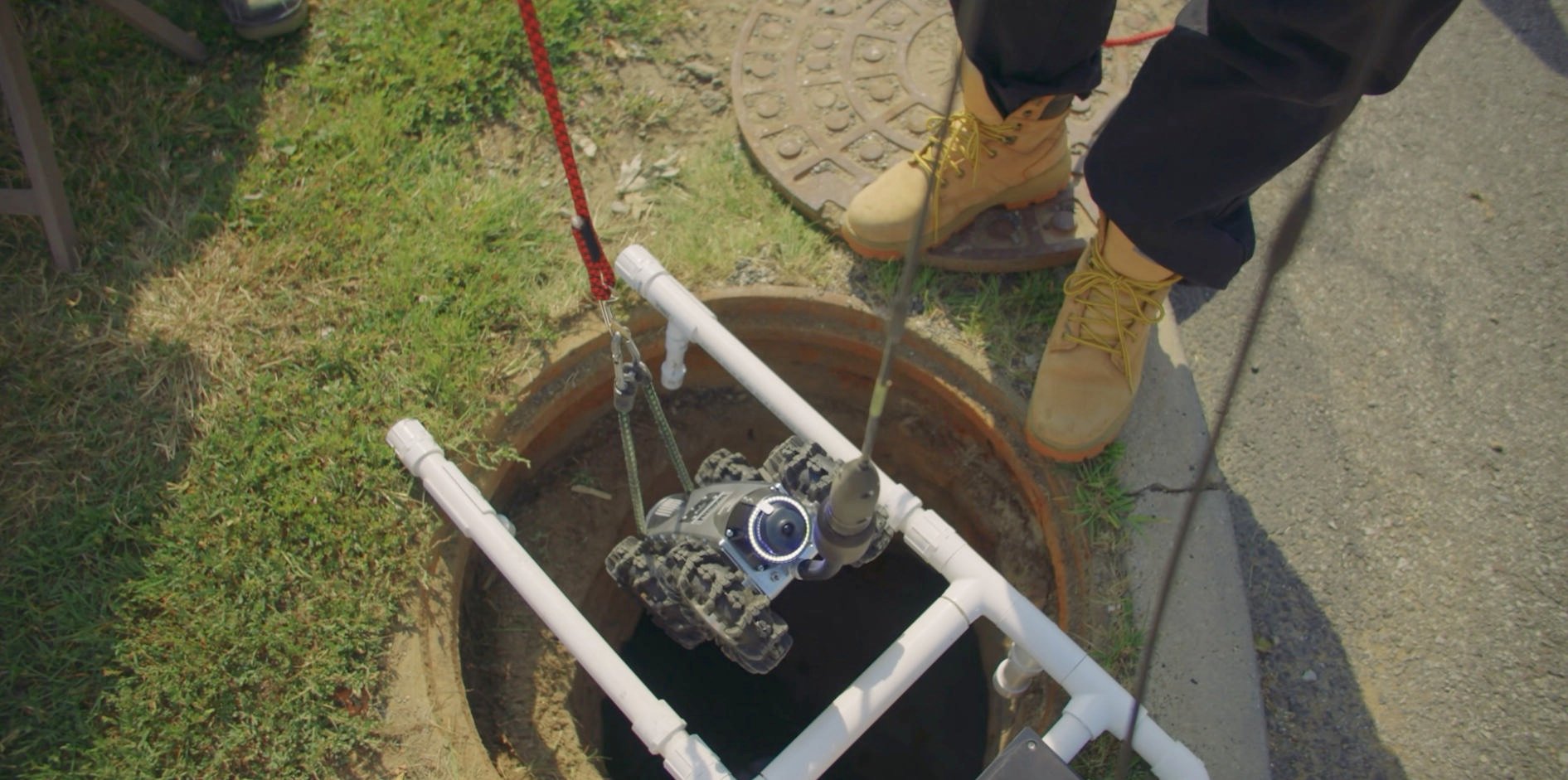
Bot Shot Deployment (3)

The first layer

Condition intelligence

Rehabilitation design, CIP sequencing and funding applications are only as strong as the condition data beneath them. When assessment comes first, scope follows measured condition, and your recommendations are easier to defend to the client, the regulator and the funder.

IPI is built to be that first layer: inspection, coding and risk analysis delivered in a form your engineers can review, adopt or adjust.

What your clients get

And what your team gets

Prioritization

Prioritization

Likelihood and consequence analysis for your risk model.

Compliance readiness

Compliance readiness

Certified records for the submittals your firm prepares.

Funding enablement

Funding enablement

Condition and risk data that can support eligible funding applications.

zzzzz 2

How we work inside your program

A subcontractor that works the way your PMs do
  1. Pursuit support. Scope input, approach language and qualifications for your proposal.
  2. Mobilization. INREACH™ intake of the client's GIS, prior inspections and records, so field work targets the right assets from the start.
  3. Field program. EdgeAI mobile robotics with 360-degree imaging at six times traditional CCTV resolution, able to reach many access points that are difficult for truck-mounted equipment (subject to site conditions and permissions), with daily production reporting to your project manager.
  4. Quality and delivery. PACP, MACP and LACP certified coding, QA records and GIS layers in the schema you specify.
  5. After delivery. Imagery can be revisited later to answer new questions without sending crews back out.
CapabilityDetail
Coding standardsNASSCO PACP, MACP and LACP, certified staff
Imaging360-degree, six times traditional CCTV resolution, 2D and 3D views
AccessBuilt for hard-to-reach access points, including easements and rough terrain, subject to site conditions and permissions; equipment fits in airplane carry-on luggage
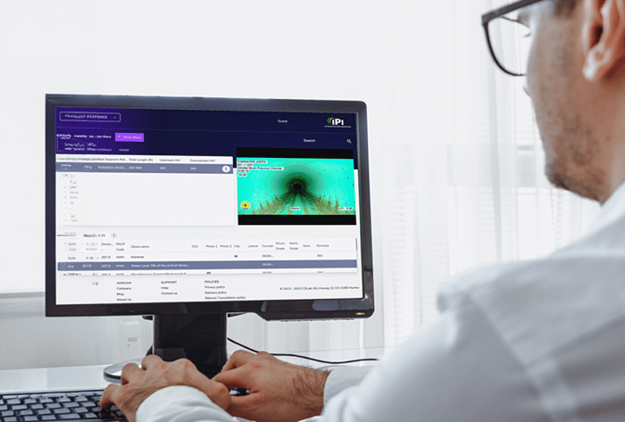
OutputsGIS-integrated, compatible with ArcGIS and common asset management platforms
Throughput63% above industry daily production on the El Paso Water program; production on any program depends on site conditions
SafetyProject Zero program, built around the goal of zero incidents, zero defects and zero claims
FootprintMainland U.S. plus U.S. territories
Sample deliverableCoded inspection data, imagery, GIS layers and a summary report from a comparable program, available on request

Proven at scale

Condition data that reaches design years sooner

2,400-mile program

2,400 miles

El Paso Water baseline, compressed from 10 years to 6.

63% higher daily production

63% higher

... daily production than the industry standard.

10M+ feet inspected

10M+ feet

... inspected since 2009, with zero incidents or claims.

Testimonials

What Clients Are Saying

"Rather than simply executing, IPI has actively helped develop the work plans; leading to smooth and effective investigations."

—
Jeff Lykken, PE
-
Vice President, HDR

FAQ

Common questions from engineering teams

How does IPI fit alongside our engineers?

IPI provides the condition assessment and prioritization analysis your team builds on. Your engineers review the data and make the final recommendation to the client.

What formats do you deliver?

NASSCO-coded data, 360-degree imagery in 2D and 3D, GIS layers aligned to your schema, and summary reports. We agree on formats at kickoff so data is usable on delivery.

Can we see a sample deliverable?

Yes. IPI can walk your team through a sample deliverable package, including coded inspection data, imagery, GIS layers and a summary report, along with how it was used on a comparable program. Ask during a teaming conversation.

Can you inspect hard-to-reach assets in easements or rough terrain?

Often, yes. Using EdgeAI's mobile robotics, IPI can reach many access points that are difficult for truck-mounted equipment, and the equipment is small enough to fit in airplane carry-on luggage. Actual access depends on site conditions and permissions, which we confirm during planning, so your scope isn't limited to the manholes a truck can reach.

Can you support a pursuit on short notice?

Yes. Tell us the client, scope and due date, and we'll turn around approach language and qualifications for your proposal.

What prequalification documents are available?

Insurance certificates, safety program documentation and references are available on request for supplier onboarding.

Where can you work?

Anywhere in the U.S. and its territories. IPI's largest current program is El Paso Water's 2,400-mile baseline assessment in Texas.

Let's talk about your next program
Pursuing a new assessment, need capacity on an active program, want IPI on your subcontractor roster, or want to see a sample deliverable? Start here, or contact Kent Jordan, COO: kent@ipi-pipe.com | 601-520-5136