Every IPI engagement produces a comprehensive intelligence package designed for three audiences:
Your operations team (what to fix and when)
Your leadership and council (why this spending is justified)
Your funding sources (documentation that satisfies SRF, BIL, and consent decree requirements)
Scroll below to see what's inside.
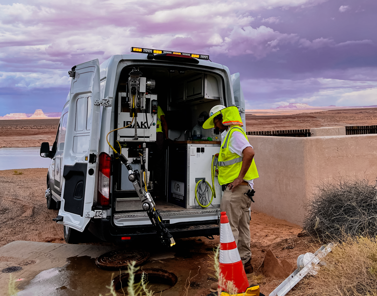
ACQUISITION
The Most Accurate Picture of Your Infrastructure Available
Panoramic technology captures continuous images of the pipe and operates in both forward and reverse. Images are captured every two seconds and create a 360 degree view of the entire pipe surface. Field operators launch the robot, monitor its progress, and collect the robot after it has scanned the desired length of pipe. Operators do not stop the recording to identify defects as in traditional cctv. Thus reducing the likelihood of operator omission. All analysis is done offsite in an office environment.
ANALYSIS
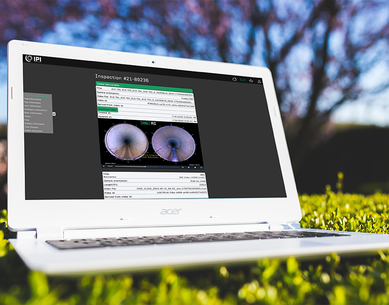
From Raw Data to Risk-Scored, Prioritized Intelligence
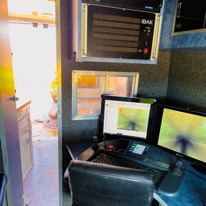
The PANORAMO viewer software makes it possible to carry out a complete sewer inspection in the office. A technician views the inspection data and uses a combination of controls to pan and rotate the camera. He can stop, turn a full circle, zoom, concentrate on laterals and defects, all as if he was operating the system in the field. In addition, the technician can go back and double check accuracy many times. Software tools allow for measurement of cracks, defects, pipe attributes with amazing accuracy. Within 1 mm detail. Images are viewed in both 2D and 3D using Wincan 8.0 and optisanner software. All reports are coded by a trained professional using PACP certified coding.
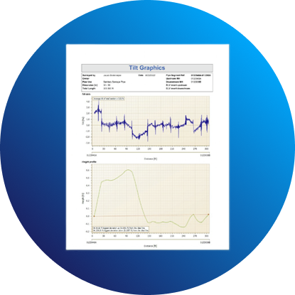
REPORTING
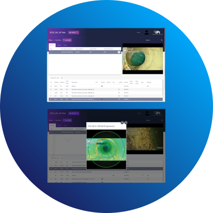
Deliverables Your Team, Council, and Funders Can Act On
Deliverables are presented to you in many formats. Reports can be revisited at future dates and manipulated. This allows us to:
Show new variables
Give more comprehensive details
Answer questions/concerns not part of the original scope of the project
Panoramo generated reports are presented to you in the same way that technicians view them during processing. They are presented in both 2D and 3D. They can be viewed as a complete pipe image, and as a flattened image. This allows for viewing as single still images or a series of images viewed as live feed. And images do not lose their high resolution clarity.
PLANNING
A Defensible Roadmap for Rehabilitation and Funding
IPI's planning deliverables give you a sequenced rehabilitation roadmap, organized by risk severity, compliance timeline, and cost, that serves as the foundation for your capital improvement plan, your next SRF application, or your consent decree milestone report. Our GIS-integrated outputs show patterns across asset systems, allowing you to bundle maintenance and rehabilitation projects for maximum efficiency and funding competitiveness.
Request Your Free INREACH™ Readiness Assessment
Find out where your infrastructure stands, and what it will take to get your next project funded.